Global Storm Surge Information System (GLOSSIS)
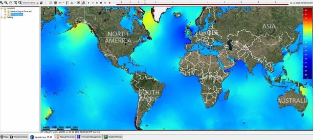
Coastal inundation by storm surges is one of the main risks for coastal cities worldwide. These risks are expected to further increase in the next few decades due to population growth, sea level rise and land subsidence. To assist worldwide early warning, the Global Storm Surge Forecasting and Information System (GLOSSIS) is developed, which provides real-time water level and storm-surge forecasts with global coverage. These forecasts can be used for early warning in those areas currently lacking any forecasting capability, or can provide boundary conditions for more refined local models.
From GLOSSIS, the Global Tide and Surge Model (GTSM) is run 4 times daily to produce 10 day water level and storm-surge forecasts. Model output is produced for about 16,000 coastal segments with more or less homogeneous characteristics (DIVA). For each DIVA segment warning levels are defined based on exceedance levels with certain return periods derived from a historical re-analysis (Muis et al, 2016). Additionally, results can be compared against hundreds of real-time observations from tide-gauges worldwide, imported from the IOC sea level station monitoring facility.
GLOSSIS is developed with Delft-FEWS. The system manages all data flows, such as real-time observations and global meteorological forcing of the model, as well as scheduling model runs and visualisation of the results. The GLOSSIS forecasts are currently using meteorological prediction from NOAA’s GFS model as input, although there is also functionality in place to use hurricane tracks from the Joint Typhoon Warning Center (JTWC) or meteorological predictions from ECMWF. The system is hosted from Deltares’ iD-Lab.
You have not yet indicated whether you want to accept or reject cookies. This means that this element cannot be displayed.
Or go directly to:
The GTSM model is developed with the Delft3D Flexible Mesh Suite (Delft3D FM), and uses an unstructured spherical grid, to represent coastal areas in more detail (around 5 km resolution) than open oceans (50 km resolution). The model was calibrated and validated against about 300 coastal tide gauges and satellite altimeter.
GLOSSIS results are used for sounding reduction of bathymetric measurements and to derive improvements to vertical referencing in the BASE Platformproject.
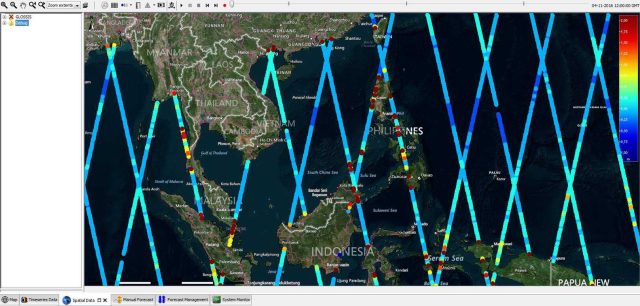
The development of GLOSSIS is on-going. Present work focusses on further improvements to the GTSM model, on inclusion and assimilation of remotely sensed water levels and on web-based dissemination of results.


Link to scientific papers:
- A global reanalysis of storm surges and extreme sea levels
- GLOSSIS: Global storm surge forecasting and information system. In Australasian Coasts & Ports Conference 2015: 22nd Australasian Coastal and Ocean Engineering Conference and the 15th Australasian Port and Harbour Conference (p. 229)".
- Global-to-local scale storm surge modelling on tropical cyclone affected coasts”. In: Australasian Coasts & Ports 2017: Working with Nature. Barton, ACT: Engineers Australia, PIANC Australia and Institute of Professional Engineers New Zealand


