Questions about availability of groundwater or wanting to cooperate, please contact



It was agreed in the Netherlands in 2021 that water and soil would be the leading factors for spatial planning. That also applies to the transitions that take up space, such as energy and agriculture. The aim of the Freshwater Delta Programme is to make the Netherlands resilient to water shortages by 2050. Internationally, there is an increasing focus on water shortages and sinking, shrinking, saltier deltas where groundwater plays a crucial role. And SDG 2 and SDG 6 target food security and clean drinking water respectively. Groundwater plays a crucial role in all of these agendas.

More fresh water is available from groundwater than from surface water. That is a comforting thought. But it also demonstrates the importance of sustainable groundwater management. Because of the interdependence between groundwater, surface water and the soil, there is increasing pressure on quality and quantity as a result of the greying, salinisation or depletion of groundwater.
Groundwater is often the key to solving numerous challenges facing society, including global transitions in climate, agriculture and energy. But because it is below the ground and out of sight, we can easily overlook it.
We work in partnerships to map out groundwater, both in the Netherlands and internationally. In the Netherlands, we work with the Ministry of Infrastructure and Water Management on protecting groundwater stocks. We have also conducted an integral groundwater study that looked at quality and quantity in a range of future scenarios. We conducted both those studies with fellow knowledge institutes.
We also brought in a range of stakeholders because applied knowledge is our priority. Our knowledge is also used in the Freshwater Delta Programme. For example, we make calculations for the Dutch delta to determine whether, and when, sea level rise will reduce our freshwater stocks.
Groundwater stocks are indispensable to maintain the availability of water for people and nature. Deltares therefore visualises the system, develops innovative solutions and supports integrated planning processes at home and abroad.
Otto de Keizer, department head groundwater management
We conduct the national prediction studies using models, for example in the hydrological instruments. We also use the open-source iMOD suite for groundwater, water quality and land subsidence. We are continuously overhauling these models in the open-source community with knowledge partners such as USGS. Speed and transparency are particularly important because of the increasing availability of data.
With Utrecht University, we are working on global platforms to acquire insight into freshwater resources globally as well. Our primary focus in this respect is on the future of groundwater, desiccation and salinisation in delta areas. The combination with our other research themes is also important. For example, groundwater is linked to land subsidence, but also to water shortages, flood risk management and water security.
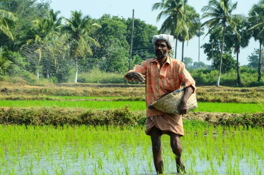
For an applied research institute, it is also important to be able to test solutions on a representative scale in the field. We do this in Zeeland Flanders but also, for example, in the Mekong delta to look at ways of storing fresh water underground. We are working with farmers to test new irrigation techniques in order to see if they can retain fresh water longer, but also in order to stop fertiliser running off the land before it is used. And we are looking at coastal areas to see if, by capturing fresh water, we can push back salt water below the surface. In COASTAR, we are tackling this field in collaboration with the users of this water.
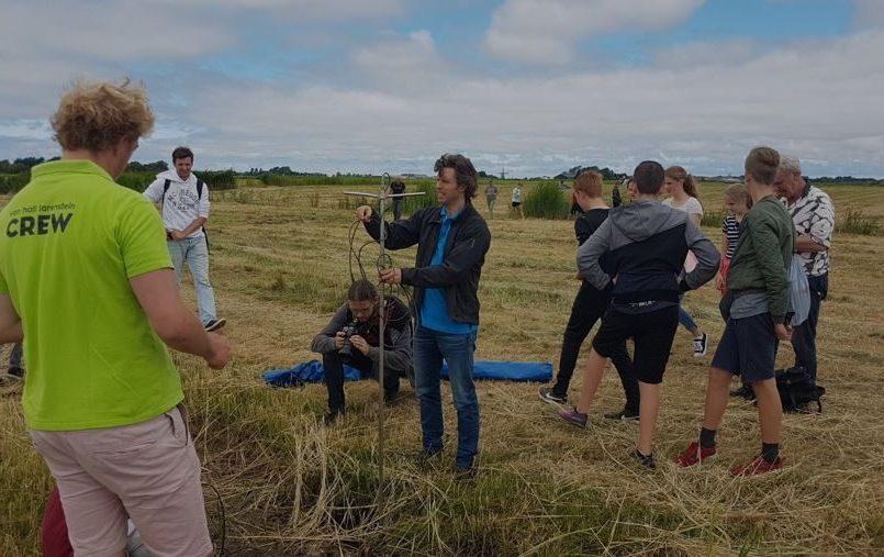
Measuring and monitoring are important to improve insights and models. For example, with TNO and the water authorities involved, we visualise salinisation in the subsurface and groundwater bodies along the Dutch coast from a helicopter by using electromagnetic waves (FRESHEM). Or we measure underground water temperatures with fibre-optic cables because of the role that deeper groundwater plays in, for example, geothermal systems.


