Global Groundwater Risk Indicators
In this project, Deltares and Utrecht University will provide global scale indicators of groundwater related risks and sustainable groundwater use, under current and past climate and socio-economic conditions.

Global scale indicators of groundwater risks
These will be presented online in WRI’s Aqueduct Water Risk Atlas. The risk indicators will focus on groundwater depletion. The backbone of the risk atlas will be a number of large datasets computed using a new transient global groundwater model (De Graaf et al., 2013) consisting of two model layers.
The advantage of this groundwater model is that it not only analyses the global water balance, but also takes into account transport of groundwater over large areas and long time periods. The model enables us to calculate the effects of climate change, socio-economic changes and measures, now and into the future. The resulting indicators will be relevant to international companies, international financing institutes and humanitarian aid organizations, to assess risks related to new investments, by predicting changes in water supply that may affect production processes and to timely plan adaptation measures.
Growing concern amongst companies, like oil companies over the global decline in fresh water availability. They make use of groundwater during their production processes
Declining agriculture, industrial investment risks and subsiding cities
Groundwater accounts for about 98 per cent of all non-frozen freshwater resources. Some of it is stored in layers deep in the earth where it cannot easily be extracted or replenished. However, when attainable, groundwater is a favourable resource both for drinking water, industrial water and irrigation water, because it can be obtained locally, by using small wells, without extensive investments in infrastructure.
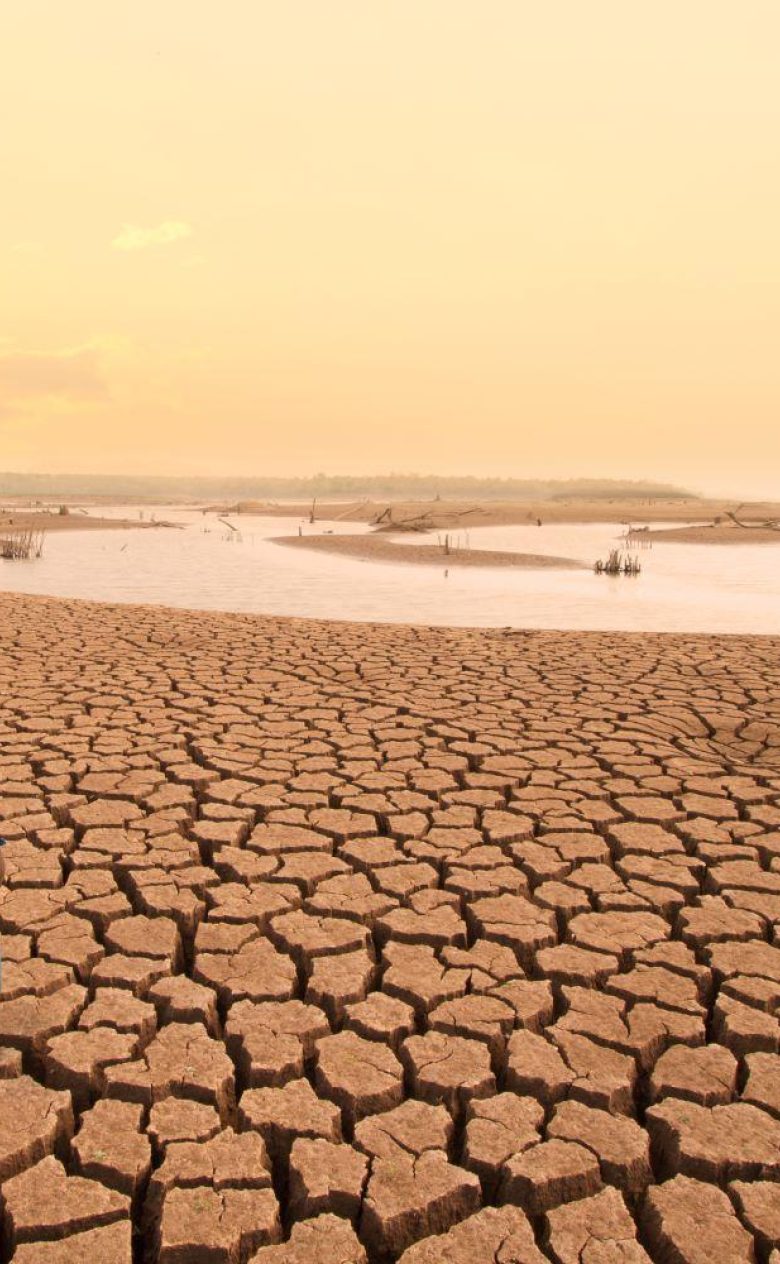
Moreover, groundwater quality is often superior to surface water. In many parts of the world groundwater use has surpassed natural groundwater recharge, leading to strong drops in groundwater tables (meters per decade). This will render groundwater unattainable for local farmers in the near future, which – given the reliance on this resource – may lead to the decline of agriculture. Groundwater depletion under cities in delta areas or river valleys may lead to strong land subsidence, which causes damage to infrastructure and, such was the case in Jakarta recently, increases the risk of flooding. Furthermore, both water scarcity and flooding pose investment risks and therefore become more and more relevant to global industries.
Groundwater knowledge, key to economic development
In many of the global analyses of water scarcity, groundwater has only been marginally treated. We believe that groundwater resources – even the fossil ones – and the conjunctive use of groundwater and surface water are key to solving the problem of future water scarcity under a growing population. Until our technology is advanced enough to both use less water and use water of lesser quality at acceptable costs, groundwater may be the key to economic (agricultural and industrial) development in many countries. It is thus imperative that we study how much groundwater there is, how long it may last in different areas of the world, what are the possibilities for artificial recharge and what are sustainable withdrawal rates. This project is the first step in providing this kind of information as open data on a global scale.

