Climate-resilient sponge landscape at work
The future impact of floods and dry periods in Europe depends on the condition of landscapes and their natural capacity to retain water. The retention and subsequent release of water is comparable to how a sponge works.

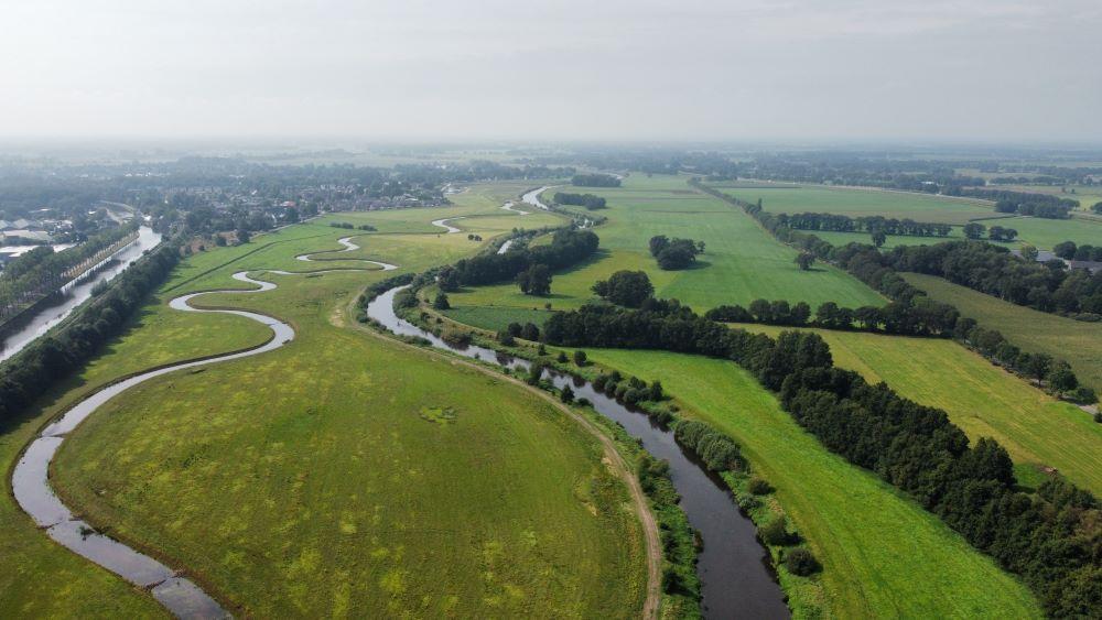
The aim of the Horizon Europe project SpongeWorks is to improve water retention in landscapes. Nature-based Solutions that improve the sponge function of landscapes are potentially a sustainable solution for climate resilience. SpongeWorks conducts scientific research and focuses on the practical application of sponge functioning in three large catchments in France, Greece, Germany and the Netherlands. Deltares is working on the implementation of practical solutions in the Vecht catchment in the Netherlands.
What is the story behind SpongeWorks?
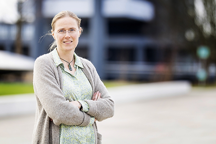
Ellis Penning is the SpongeWorks project coordinator and an expert on Nature-based Solutions: “To answer that question, I first have to go back to the SpongeScapes project that preceded SpongeWorks. That is a slightly smaller European project with ten partners in which we look at the ‘sponge function’ in landscapes. The work on this project threw up the next question, which focuses more on the direct implementation of sponge function measures. In brief, you could say that the knowledge we acquire in SpongeScapes is put into practice in SpongeWorks.

In SpongeWorks, we have three major demonstrators: the Vecht, a basin shared by the Netherlands and Germany, the Lèze river in France and the agricultural area that is important for Greece in the Pinios basin. We are looking at how to restore the landscape hydrologically in these three areas. How can we restore the ecosystem and retain water in order to enhance the buffer capacity to cope with floods and dry periods? Our motto is ‘Use green solutions when you can, but grey solutions when you must’. We implement and evaluate a range of measures such as the restoration of nature areas, changes in agriculture and land use, and water/groundwater management. We work with the people in those areas. By bringing in knowledge, we also introduce realism and nuance. What is logical and feasible in a given location? We work in line with the ‘water and soil as leading factors’ principle. It is possible that the landscape has changed so much in recent decades that now, given new climate conditions, not everything is feasible. That means we sometimes have to reconsider how we can use the land there.”
Why were these three areas selected?
“There is already a lot of healthy stakeholder interaction here. That allows us to look at concrete ways of making these areas more climate-resilient and at which measures can help best in which locations. These three areas also bring very different climates and challenges into the picture. In France, the emphasis is on flash floods and soil erosion; in Greece, we are looking at extreme heat and ‘medicanes’, ‘Mediterranean hurricanes’ involving massive rainfall in a short time, with very large-scale consequences and long-term damage. And in the Vecht basin, we have transnational water management issues. How can we ensure that activities in Germany and in the Netherlands are properly coordinated? How can we establish a single integrated plan and how do upstream activities affect areas downstream, for example?
It takes time to change and transform landscapes to make them more climate-resilient. That’s why we opted for demonstrators that we already knew well.”

What is the innovation in this project?
“In the past – and this is something you still see – we worked mostly in silos on solutions. In other words, we tackled things on a problem-by-problem basis and not in an integrated way. That produced separate solutions for floods, dry periods, water quality and ecology. Agriculture and urban areas were also looked at separately. We are actually trying – and this is the real innovation here – to bring everything together and make evaluations based on all our goals. You need different types of tools for this: flood and drought tools, for example. How do we link all these things and what monitoring methods should be use to validate these tools?
What do your calculations for floods or droughts mean in terms of water quality and ecology? How do you quantify that? What knowledge do we subsequently need? We are trying to resolve these issues. It’s not easy: you have to learn to speak each other’s language first.”
We look for integrated solutions. So you have to learn to speak each other’s language.
Ellis Penning, project coordinator and an expert on Nature-based Solutions
What are the implications of this research for flood risk management in the Netherlands?
“We often see that there are problems with water in places where we have fashioned the landscape in ways that don’t make as much sense now. The measures we are studying mainly target situations that already lead to problems in relatively ‘normal’ circumstances. In the Netherlands, we can also pick up relevant lessons from the two other demonstrators, where their ‘normal’ circumstances are still quite extreme for us. They are used to coping with hotter weather and drier summers, and more intense rainfall in winter. At the same time, we also have to be aware that many of the measures we are looking at now will help with certain types of rainfall but that, in very extreme situations, nothing will actually help. Take the example of Greece’s Pinios Valley, where 800 millimetres of rain fell in two days. That is almost as much as we see annually in the Netherlands. You can’t absorb that amount anywhere. So entirely different measures are needed, such as early warnings, evacuations and raising water awareness.
Who are you working with in this project?
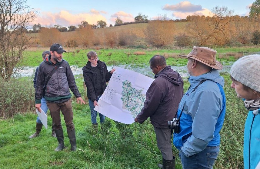
“In SpongeWorks in the Netherlands, we are working with the Vechtstromen water authority, Twente University, area managers and the municipality of Hardenberg. At the same time, we will also be engaging with other stakeholders from the Vecht region, including the German partners. In Greece, we are working with irrigation cooperatives, farmers and municipal authorities, among others; everyone there influences that process in one way or another. In France, the Lèze passes through two departments and two different chambers of agriculture are involved. One focuses on organic farming and the other more on regular agriculture. So you also get two different perspectives there. We need to bring them together as well. We also see that some stakeholders know the area better than others. Water authorities have their own immediate sphere of influence but we also need to look beyond the river and the water alone. That’s why we also include the land, and therefore local farmers, directly in the project. It’s often the case that a lot of the land ultimately belongs to an individual landowner. We are trying to piece together all these parts of the puzzle.”
What else is needed for successful SpongeWorks?
“We need to scale up interventions to the landscape level to make genuine improvements in the landscape. You can do this by simply scaling up measures but you often also need other activities such as changes in policies or making people aware of what is needed. Sharing practical examples is very important here. They help with the scaling-up process. For example, if a farmer sees a neighbour getting the same yields with fewer pesticides and less water use, they will be more inclined to decide to go down that road. ”

Do you have another important message from practice for us?
“I certainly do. The most important message from SpongeWorks is probably that you have to work together on scaling up the implementation of sponge measures to make a landscape more climate-resilient. That collaboration often involves more than just your own area of knowledge or understanding, and you have to be open to each other’s vision and language so that we can work together on this overall goal.


